
Troy Neighbors and Block Records
The reliable way to research a block is to separate land, record, and people questions. A city or tax map supplies street geometry and lot context. The Auditor can be searched by parcel, owner, or address. The Recorder then supplies a party and document trail for an individual parcel. A voter tool can help verify a specifically named person, but it does not browse a whole block. Dated newspapers and directories add historical context, not a current household list.
| Block source | What it can show around an address | Access and boundary |
|---|---|---|
| City map or Tax Map | Street geometry, lots, plats, and subdivision context | Official map or counter; live map controls were not fully verified. |
| Auditor search | A distinct parcel, owner, address, and property-search match | One parcel, owner, or address path at a time. |
| Recorder documents | Recorded parties and selected land-document history | Party and legal-description research, not a street roster. |
| City project records | Addressed construction or condition evidence | Request by address, project type, and date range. |
| Dated local sources | Past address or community references | Partial historical material, not current occupancy. |
The distinction matters for a Troy block. A property owner may use a different tax mailing address, and neither the situs address nor a map location proves who presently lives there. For a full street-wide chain rather than the immediate block, use the Troy Streets directory route.
Troy Official Block Maps
Begin with the Troy Map Gallery to orient the address within the city. It links My Property, subdivision, historic-district, zoning, ward, annexation, and street-grid resources. The City says My Property is a one-stop property-details map, but the exact live find, identify, selection, and buffer tools were not verified during research. Inspect the visible map or plat before deciding which lot is immediately adjacent.
The Troy Map Gallery provides the starting geography for a block question.
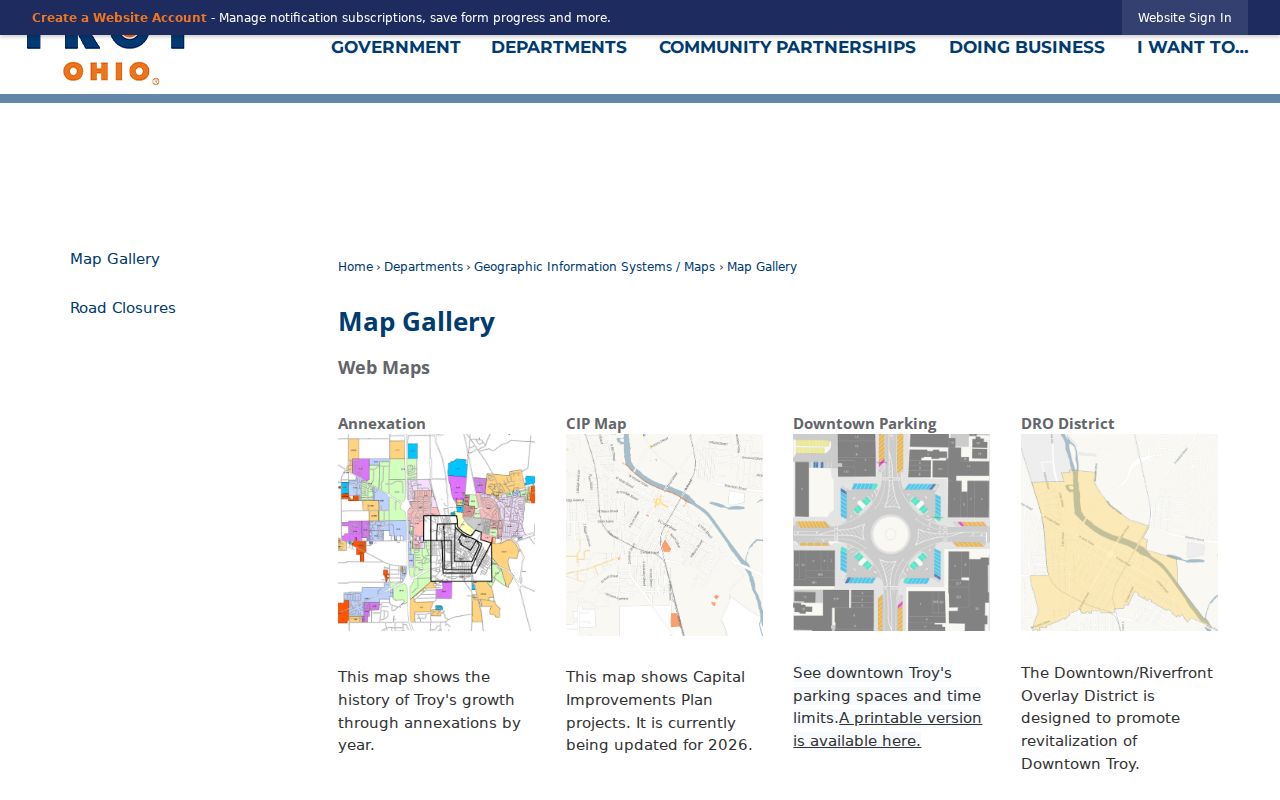
Use the map to frame the selected address, then confirm each separate parcel through the county record route. Map proximity alone does not identify a resident.
For an older legal description, the Miami County Tax Map Department provides Troy Lot Index and NE, NW, SE, and SW map-sheet routes. Its online PDFs are reference material, while the counter can help with current map information. That is useful when a deed gives lot, block, plat, survey, or metes-and-bounds wording rather than a modern house number.
Troy Civic Record Layers
Layers explain a parcel's civic setting without turning it into a people list. The city's joined parcel schema identifies parcel number, owner, property address, tax district, school, City or Township, neighborhood, values, sale information, and owner-mail fields. The same My Property application declares voting, fire-response, water, school, solid-waste, annexation, subdivision, zoning, historic-district, and ward overlays. A field's presence does not mean every parcel has a value in it.
The Troy zoning layers show the type of civic context that can be checked alongside a block. They include zoning, flood plain, historic district, wellhead protection, and overlay layers. Zoning establishes land rules and map context, not the identity of a neighbor.
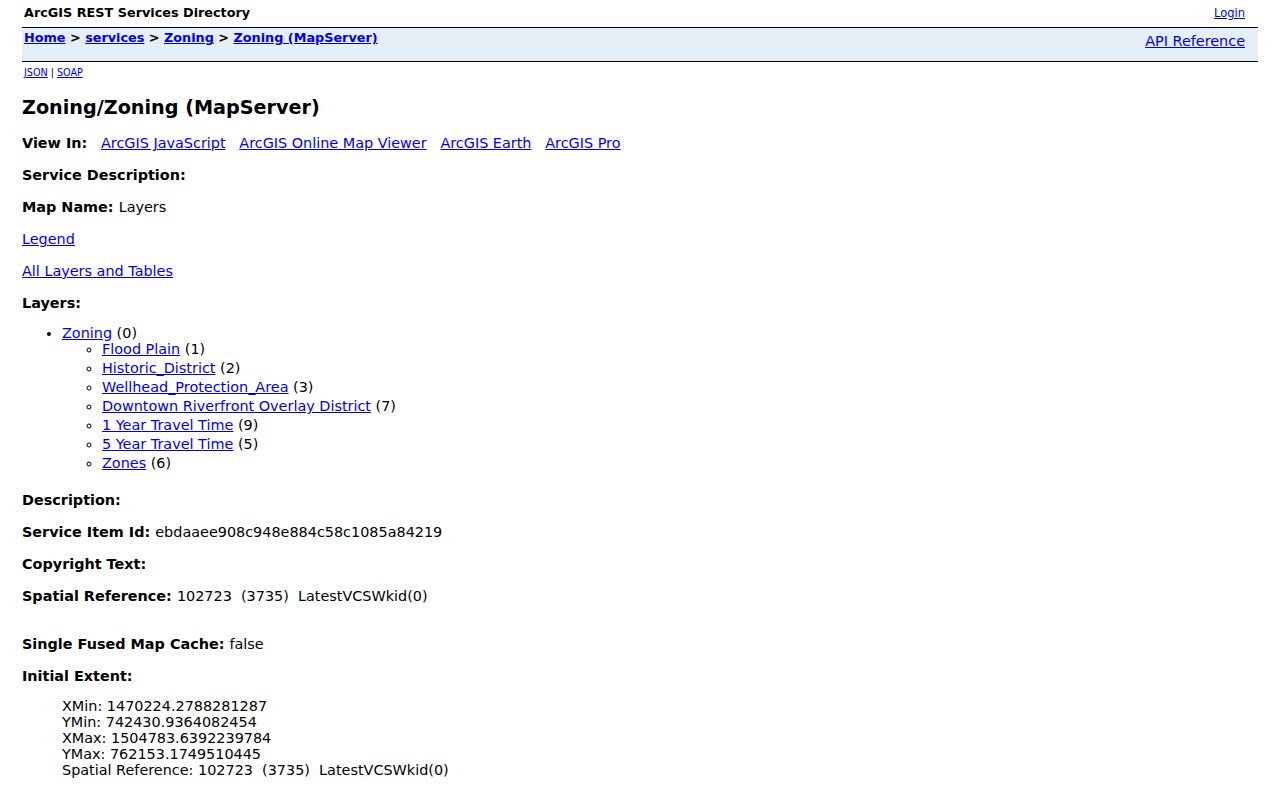
The image is a reminder to keep geography and identity apart. A historic-district, ward, or zoning boundary can explain an address question, but it cannot prove who occupies a parcel.
City records also caution that a Troy mailing name does not prove city jurisdiction. Parcel numbers beginning D08 or D45 are a local corporate-limit clue. Compare that clue with the official map before sending a City planning or code request; otherwise the county or township may be the right custodian.
Map a Troy Block Record
A conservative block workflow keeps each claim at the proper level. The flow is address to map or plat to parcel number to a separate Auditor search to a selected Recorder party or legal-description search. Only move to the next parcel after its boundary or lot reference has been inspected. The Recorder warns that address and parcel details do not appear on every recorded instrument, so a current address must often be translated through the parcel and legal description first.
- Search the Miami County Auditor with the address, owner, or parcel number and preserve the resulting parcel reference.
- Review visible City map or Tax Map material to distinguish the selected lot from the lots beside it.
- Run a separate Auditor search for each selected parcel. Record only the property relationship the record supports.
- Search the Recorder's AVA direct search by party name or book and page when a document trail is needed.
AVA is a free, watermarked, name-oriented route. It is not a reliable all-address document list. Preserve the recorded date, document number, grantor, grantee, and legal-description clues, then use the Tax Map or Recorder assistance when an older instrument needs a geographic-index route.
The Miami County Property Fraud Alert is a separate Recorder service for monitoring a name or property interest.
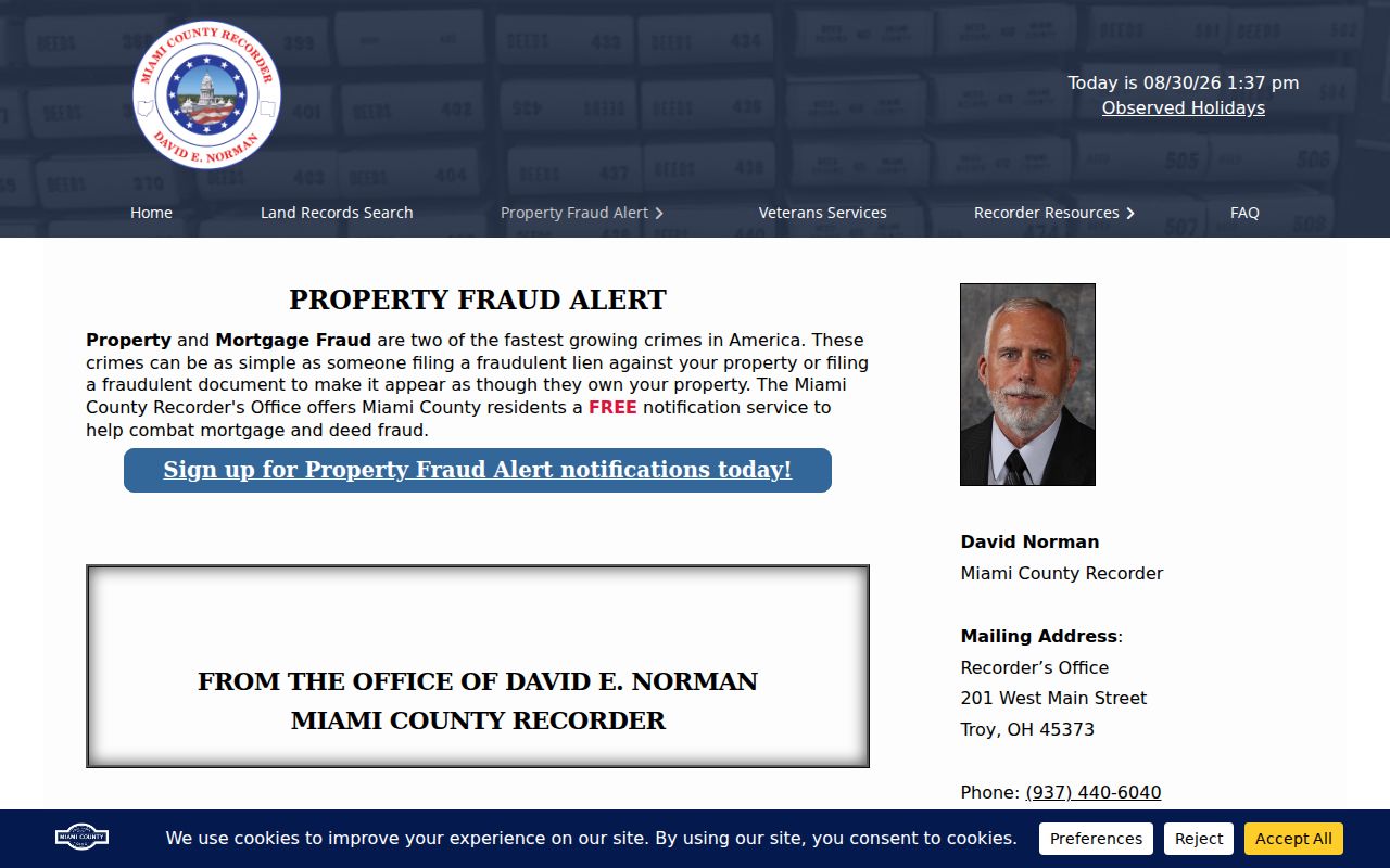
An alert can help a property-interest holder notice a recorded-document event. It does not supply a block roster or establish who lives at an address.
Troy Voter Record Boundaries
Ohio voter data has a narrow role in a neighbor lookup. The Ohio Voter Lookup requires a first name, last name, and county. It can verify a named-person and precinct path, subject to protected information, but it is not an address-only street-browser. A block should not be converted into a casual voter list, and a result or nonresult cannot establish every person in a household.
Ohio DATA Act voter snapshots are another public-record channel. County boards create daily snapshots, and the Secretary retains them for at least 22 months after an election. One county and one date can be downloaded as a file, while custom packages have distinct controls and an email delivery step. Sensitive and confidential fields remain protected under Ohio law.
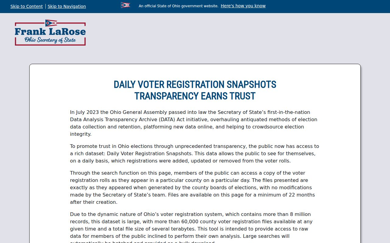
A dated snapshot can support a carefully scoped civic record question. It is not a substitute for parcel research or a statement of present household membership.
Troy Address Project Records
Addressed City records can describe a project rather than a household. Troy Planning and Zoning administers the zoning, sign, property-maintenance, and subdivision rules. Its published forms include permits and applications for items such as additions, demolition, fences, variances, rezoning, and certificates of occupancy. A public-facing permit result screen was not verified, so request a known address, project type, and date range through the City rather than claiming a web search is available.
Troy Police Records is a different request channel for City police records. It accepts in-person, phone, mail, fax, and email contact; a supplied incident or case number helps. Call logs belong with the Miami County Communication Center, and closed crash reports generally appear after the investigation closes. Exemptions and redactions still apply.
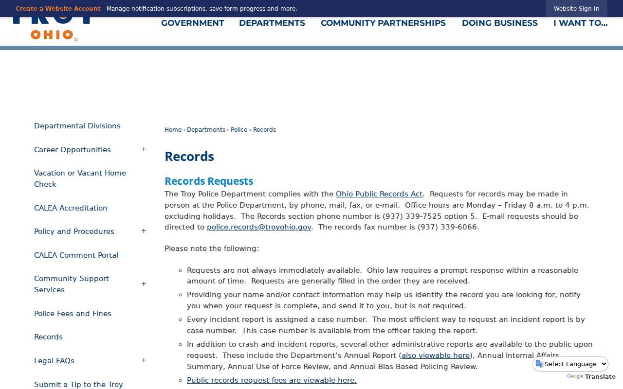
These records can give a date or location for a specific public request. They should never be treated as a source for private household details.
Note: A concise request naming the address, record type, and date range is more useful than asking an office to create a neighbor report.
Troy Community Directory Gap
No official Troy umbrella neighborhood-association directory, HOA roster, or public member-contact directory was located. That is an important research result. It means a person should not assume an association exists for a block, infer its members from map layers, or rely on an unverified list. A public organization contact, when independently published, is an organization contact and not evidence that everyone nearby belongs to the group.
| Community source | What the local research verified | Appropriate next step |
|---|---|---|
| Neighborhood associations | No official citywide association or roster directory was found. | Use only a separately published organization contact. |
| Local History and Genealogy Center | Books, maps, manuscripts, land records, microfilm, and staff are available. | Ask about dated block, newspaper, or directory material. |
| Troy Historical Society | Subject files provide historical people and organization leads. | Confirm current visit details through the Library Center. |
The Troy-Miami County Public Library Local History and Genealogy Center and Troy Historical Society are the sound fallback for historic neighborhood context. Newspapers, directories, maps, and subject files can explain an earlier block, but they do not convert into a current neighbor directory.
Troy Block Record Comparison
Official sources and commercial neighbor tools serve different purposes. A parcel or recorded document identifies the land record that its custodian maintains. A commercial category may combine mixed public and marketing data, and names or addresses can be stale, conflated, or unrelated to the selected parcel. For a block question, narrow official records are more transparent about what they do and do not establish.
| Source type | Useful strength | Limit for a Troy block |
|---|---|---|
| Official parcel and map records | Direct parcel, geography, and land-record context | Does not make a resident roster. |
| Official voter verification | Narrow named-person and county check | No street browsing; protected fields stay closed. |
| Commercial neighbor category | May surface leads to independently test | Mixed-source data can be stale or conflated. |
For an early Troy block, historic maps need date awareness. The original core was platted in 1807, and annexation layers show later growth. Match an old street reference with its map era and parcel geography before assigning a modern neighborhood label.
Troy Neighbor Privacy Limits
Public maps, property records, and voter tools have clear edges. They do not establish renters or other household members who are absent from a named public record. Municipal utility-customer names and addresses are exempt from Ohio public-record disclosure. DMV data is also protected, and confidential voters, Safe at Home participants, qualifying address redactions, sealed cases, and protected personal identifiers cannot be reconstructed from other sources.
Ohio Safe at Home protects qualified participants through a substitute-address program. Records that appear inaccurate should be directed to the custodian that maintains them, not to a map or directory service. If a narrowly described City or county record is unavailable online, Ohio Public Records Act procedures can support a request for the existing non-confidential record and its lawful redactions.
Lawful use. Use Troy neighbor records for personal, lawful research, block context, reconnecting, and safety awareness. Never use information to stalk, harass, intimidate, or harm another person.