
Address Steps for Troy Street Directory
For a Troy address, begin with the Miami County Auditor Property Search. Its separate house number, direction, street name, and street-type fields are the cleanest first route when the whole address is known. The result supplies a parcel anchor for later work. An owner name can be a useful land-record lead, but it does not prove present household membership. If the parcel begins with D08 or D45, the City FAQ identifies it as land inside Troy corporate limits, which helps decide whether a City Planning and Zoning request is the right next channel.
- Enter the address in the Auditor search and save the parcel number, street spelling, and current land-record context.
- Use the parcel number with Tax Map material to connect the address to a lot, plat, subdivision, or other legal-description clue.
- Search the Recorder's free AVA route by a known party name, then record the document number and the earlier grantor or grantee.
- For a dated household clue, compare a matching local directory or newspaper item with the historic address and map context.
- Use the Ohio voter tool only to verify a named person in Miami County. It is not a street-by-street roster.
Each stop answers a narrower question. The property roll anchors land, the Recorder shows a recorded document trail, and local-history sources can add dated context. A match at one step should be checked at the next.
Troy Street Directory Address Fields
The Auditor's advanced screen is unusually useful because it separates the parts of a Troy address instead of requiring one exact line. It also offers owner, parcel, sale, location, land, and residential criteria. The location controls include municipal, school-district, neighborhood, township, and tax-district filters. No ZIP search control was exposed in the inspected screen, and the research did not verify a historical coverage start date for the portal.
| Auditor field | Use for a Troy address | Format or limit |
|---|---|---|
| House # | Starts the address route | Optional field |
| Direction | Separates directional street forms | Abbreviation field |
| Street Name | Finds the named street | Address route |
| Street Type | Distinguishes the street suffix | Abbreviation field |
| Owner Name | Provides an alternate parcel route | Enter last name first |
Use a partial search carefully. Similar street names and repeated house numbers can produce a plausible but wrong parcel. Confirm the municipality or tax-district context before carrying a result into a deed search.
Troy Parcel Maps by Address
The Miami County Tax Map Department supplies the bridge between a modern street address and older land language. It maintains Troy Lot Index material and Troy NE, NW, SE, and SW tax-map sheets, along with survey plats, record plats, tax maps, and aerial photographs. County PDFs are reference archives, so current map information should be requested from the Safety Building counter or department staff. A lot, block, plat, or legal description often survives when a street string changes or disappears from an older instrument.
The County tax-map page shows the official map-access route used for Troy address research.
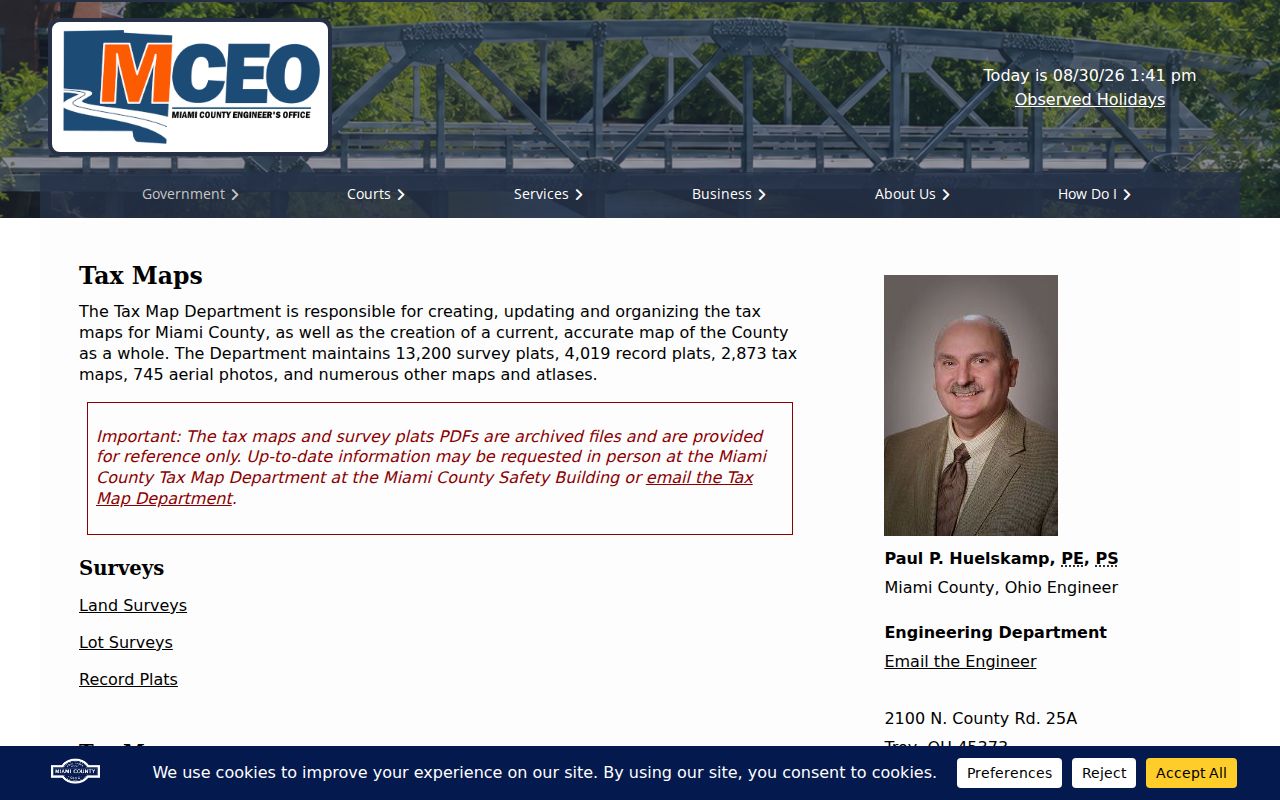
This source matters because Tax Map material connects a parcel to the map and plat references that make a deed trail easier to follow.
The department reports 13,200 survey plats, 4,019 record plats, 2,873 tax maps, and 745 aerial photographs. Those collections make a map or plat bridge possible for many address questions. They do not turn a map record into proof of occupancy, but they can keep the same lot or subdivision connected across changing street references.
- Parcel
- A county identifier for a specific piece of land. It is the best cross-office anchor after an address search.
- Situs address
- The physical location assigned to land. It identifies the parcel, not every person who may be associated with it.
- Plat
- A recorded map that lays out lots, blocks, streets, or subdivisions.
- Criss-cross directory
- A reverse, address-oriented directory format. No Troy title or year run was verified, so confirm a particular volume with Local History before relying on one.
Troy Recorder Deed Trail
The Recorder is not a street browser. Miami County tells users to search by party name or book and page because street addresses and parcel numbers do not appear on every recorded instrument. After the Auditor supplies a current owner or land clue, search the Recorder by name, open the relevant document number, and preserve the grantor, grantee, date, book or page, and legal-description clues that are actually visible. Then use the earlier party to continue backward.
The Recorder's online-search instructions say records from 1998 forward may be searched online by name or book and page, while 1980 through 1998 uses book and page. The underlying digitized books and indexes reach further back, but earlier work may require Recorder help or the deeper Laredo index groups. The Recorder does not certify clear title or provide legal advice, so a recorded chain is evidence of record history rather than a legal conclusion.
Deed-book images cover 1807 through 1979, while the County describes 1980 through 2008 as a partial index, book-page, or instrument route. Its digitized collections also include Geographic, Green Abstract, Name, and Miscellaneous indexes. That layered access explains why the parcel and legal description should travel with the party-name search.
The Recorder also offers a free Miami County Property Fraud Alert enrollment channel. It is a useful Troy property-safety measure for monitoring recorded-document activity, not a substitute for reviewing a parcel, instrument, or legal description. If an alert raises a question, compare the notice with the Recorder record and ask the custodian for the current copy route.
Troy Street Directory Records
Address-keyed sources in Troy answer different questions and have different access channels. The Auditor is the public online parcel starting point. Tax Maps add lot and plat geography. Recorder research can continue online, through digitized index books, or with staff help. City zoning and permit material may require a scoped records request because a public permit-result screen was not verified. The library and Historical Society provide an in-person historical fallback when the question turns to a dated address or household context.
| Source | Street or address evidence | Access route | What it cannot establish |
|---|---|---|---|
| Auditor search | Parcel and property-search match | Public web portal | A full household list |
| Tax maps and plats | Lot, survey, and legal-description geography | Web reference files or counter | Current occupancy |
| Recorder instruments | Recorded parties and document chain | AVA, Laredo, or Recorder help | A universal address index |
| Planning and zoning | Project or code evidence tied to an address | City route or records request | Private utility-customer data |
| Directories and newspapers | Dated residence or business context | TMCPL or Historical Society | Present household membership |
Use the source that fits the date and question. A parcel search is a strong current land anchor; it should not be stretched into a claim about everyone connected to an address.
Troy Address Permit Trails
Troy Planning and Zoning is the City channel for zoning and address-related project questions. A zoning permit and a County building permit are separate trails. A variance also runs with the land after a transfer, which can make an older land-use record relevant even after ownership changes. Permit or code material can date work at a location, but it does not list a household.
The Troy permit-submission portal is a City request channel. A public-facing permit-search result screen was not verified, so request records by address, project type, and date range instead of assuming a searchable public list exists.
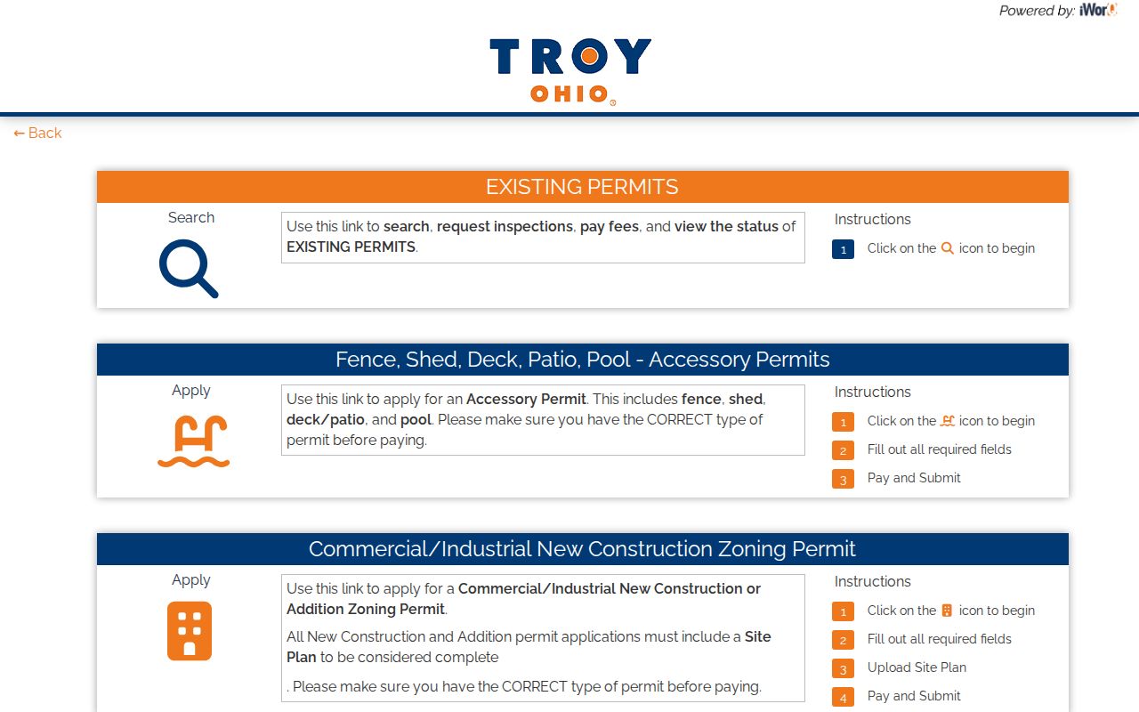
The portal image documents the available submission route, while the records-request approach supplies the safer fallback for a specific address and project period.
The Planning and Zoning page identifies the local office responsible for this part of a Troy address trail.
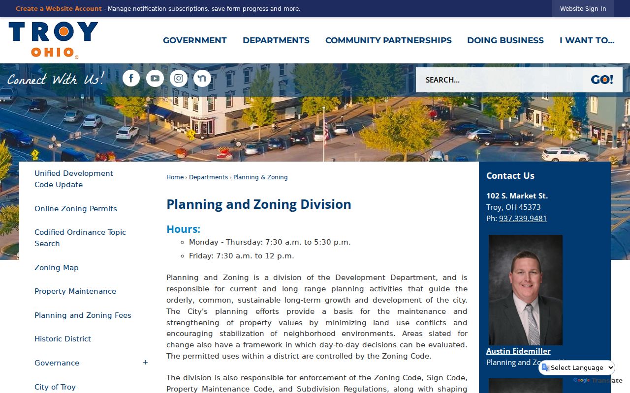
That City channel complements County land records rather than replacing the Auditor, Tax Map, or Recorder steps.
Historic Troy Street Names
Downtown Troy records need a date-aware street search. The City design history says the first 87 lots were platted in 1807, with Water, Miami, Franklin, and Back among the early streets. It says Miami and Back later became Main and Canal. A Historical Society narrative agrees that Back became Canal but uses Main for the second early street. The useful response to that wording difference is not to reject a match. Test Water, Franklin, Back and Canal, early lot references, and a historic map.
Troy's official street-grid map helps orient a current street, while the historic district and annexation layers place it in the right period. Development-era street-name patterns can also be context, not identity proof: Sherwood carries 1950s medieval-English names, and King’s Chapel has late-1960s Scottish names.
Note: Historic names and later annexations can change a street’s context, so compare the dated map and legal description before treating two similar addresses as the same parcel.
Troy Street Index Gaps
A failed name search is not a conclusion that a property has no record. Miami County’s digitized Name Index Books exclude 1917 through 1920. For that interval, switch to the Geographic Index, legal-description work, book and page, or Recorder staff assistance. For 1980 through 1999, the County specifically calls for a Geographic Index cross-check because party indexing needs verification. From January 2009 through April 2014, a Laredo book-and-page search requires OR before the book number.
The access difference is also practical. AVA is the County-linked, free route for watermarked name-oriented images. Laredo Anywhere is a deeper subscription service. Neither removes the need to compare the parcel, parties, and land description across an older chain.
Troy Street Directory Map Context
The Troy Map Gallery adds subdivision, historic-district, zoning, ward, street-grid, annexation, and My Property context to an address search. Its public parcel-layer schema includes parcel, property address, owner, owner-mail, sale, tax, school, City or Township, neighborhood, and building fields. The field list is structural information, not proof that every parcel has every field populated or that an owner-mail field identifies a current resident.
Annexation fields include ordinance, year, decade, book and page, acres, and map. Subdivision fields include a name, year, location, website, and map. Those layers help explain municipal and development context. They do not establish a postal boundary or a list of people on a street.
Troy Street Directory Limits
Public land and map records have firm limits. They do not reveal every unnamed household member, and an online nonmatch does not fill that gap. Ohio law protects DMV address data, municipal utility-customer names and addresses, Safe at Home information, qualifying protected voter addresses, sealed records, and other confidential material. The statewide voter lookup requires a name and county; it is not a street-only browse tool.
For a named-person question, use the state Ohio Voter Lookup with Miami County and treat a result as limited registration or precinct verification. For city material that is subject to disclosure, a focused request may be made under the Ohio Public Records Act, R.C. 149.43. Statutory exemptions still control.
Lawful use. Troy address records support personal, lawful research and property history. Do not use them to stalk, harass, intimidate, or harm another person.