
Troy ZIP Code Directory Coverage
Two postal codes are associated with Troy in the source material. One is the general Troy mailing ZIP used by City Hall and local offices. The other appears in an Ohio state tax source, but its current recipient type and format were not verified with a live USPS result. That uncertainty matters. A number associated with a city is not enough to describe a residential area, a postal station, or every address that may use it.
| ZIP code | Areas or status | Postal check | Research note |
|---|---|---|---|
| 45373 | General Troy mailing ZIP; City Hall and local offices use it | Confirm the exact address with USPS | Standard Troy city mailing ZIP in the local record set |
| 45374 | Second Troy ZIP listed in an Ohio state tax source | Live USPS verification required | Do not assign a neighborhood, recipient type, or boundary without that result |
Neither row is a city-boundary map. The state document confirms two ZIP codes are associated with Troy, but it does not delineate their limits or explain the use of 45374. Postal labels change and individual address validation is the reliable next step. No official local ZIP realignment year, per-ZIP population figure, or voter count was found.
Verify a Troy ZIP Code
Use the USPS ZIP Code Lookup with a known street address, or use its city and state route when an address is incomplete. This checks postal routing for the input. It does not decide county jurisdiction, confirm a property owner, or establish a person's current residence. For a Troy address, save the address exactly as USPS returns it before moving to county or City records.
- Enter the complete house number and street when those details are known.
- Use Troy and Ohio only as a broader postal query when the street is not known.
- Copy the returned ZIP and standardized address form into research notes.
- Compare the address with the Auditor parcel record and City map before making a jurisdiction claim.
USPS ZIP Code Lookup is the official source for the address-level postal check.
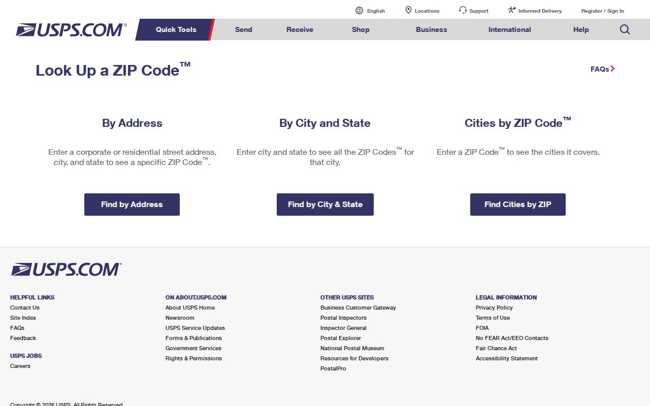
The postal result is a starting point for a Troy ZIP code search, not a roster of people or a substitute for a parcel record.
Note: Verify 45374 with a live USPS result before attaching any description beyond its documented association with Troy.
Troy ZIP Code Search Limits
The Miami County Auditor provides a strong address and parcel path, but the inspected advanced search does not expose a ZIP filter. Its public search accepts parcel, owner, or address inputs, including separate House #, Direction, Street Name, and Street Type components. Advanced filters include municipal and neighborhood criteria, yet no verified ZIP-wide parcel mode was found. Do not promise a search of all Troy residents or all parcels in one ZIP through that portal.
| Known portal input | How it helps a ZIP question |
|---|---|
| Parcel number | Anchors a specific piece of land after an address has been verified. |
| Owner name | Finds a property record, not a list of everyone at a postal code. |
| Address components | Locates a specific street address through House #, Direction, Street Name, and Street Type. |
| Municipal or neighborhood filters | Can narrow local geography but are not verified ZIP-code filters. |
Ohio's voter verification screen also is not a ZIP browse. It requires first name, last name, and county, with a street selection only after an initial result. The Secretary of State's DATA Act service offers county snapshot files, but no Troy ZIP-specific voter filter was verified. A scoped public-record request to the Miami County Board of Elections is the careful fallback when an existing public tool cannot answer a lawful, narrow question.
ZIP Codes Are Not Troy Limits
Postal delivery geography and Troy corporate limits are separate systems. A Troy mailing address can be outside the City, and a City record route may depend on the parcel rather than the ZIP. The City FAQ gives a practical local clue: parcel numbers beginning D08 or D45 are within Troy corporate limits. Confirm that clue with the City map boundaries and County parcel data before directing a question to City Planning and Zoning instead of a county or township office.
The City Map Gallery has annexation-by-year, subdivision, ward, zoning, historic-district, streets-grid, and My Property resources. Its annexation layer includes items such as ordinance, year, decade, book and page, acres, and map. Those attributes explain City growth. They are not a history of a postal code, and they should not be used to invent a ZIP boundary.
Troy's Historic District boundary information illustrates how a defined City area is different from a postal label.
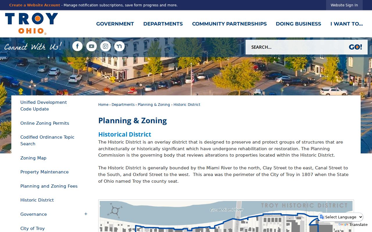
A boundary for the historic core can give useful local context, but it cannot establish delivery routing or the current occupants of an address.
Note: Postal labels, City lines, and parcel jurisdiction answer different questions and should not be used as substitutes for one another.
Troy ZIP Code Geography Layers
A Troy ZIP code is only one layer of an address. The situs address is the physical location of a parcel and is the starting point for the Auditor, City maps, permits, and tax plats. A mailing address is correspondence information and may differ from the situs. The City My Property joined-parcel schema has owner-mail fields as well as a property address field, but neither field alone proves who currently lives there.
- ZIP code
- A postal-routing code. It is not a municipal boundary or a property identifier.
- ZIP+4
- An added delivery segment used with a base ZIP. It improves routing detail but does not create a new City jurisdiction.
- PO-box or unique ZIP
- A postal designation that can have a specialized use. 45374 must be checked live before it is characterized this way.
- Carrier route
- A mail-delivery grouping, not a public resident list and not an ownership boundary.
- Legal description
- The lot, block, subdivision, survey, or metes language used in deeds and plats when a street address is not enough.
The Recorder's documented route is party name or book and page, not a ZIP or universal address index. Historic instruments may omit both address and parcel number. For older property research, carry the parcel, lot, map, or legal-description clue from the Auditor and Tax Map Department into the Recorder search instead of expecting postal geography to bridge the record gap.
Find a Troy Address by ZIP
When a postal code is the only starting detail, use it to recover the exact address first. Once an address is known, local records can be searched by the fields they actually accept. This sequence avoids treating a ZIP code as a household list and keeps a postal question separate from ownership or jurisdiction research.
- Check the known address in USPS and record the postal result.
- Search the Miami County Auditor by verified address components or parcel number.
- Use the City Map Gallery and the D08 or D45 parcel clue to check City jurisdiction where it matters.
- Use Tax Map materials for lot, plat, subdivision, or survey context.
- Search Recorder records by a party name, document number, book and page, or legal description when a deed trail is needed.
Current owner data and owner mailing information are tax and land-record clues. They are not proof that every person at a location is a current resident. Once a ZIP question has narrowed to a street, the address method belongs in the Troy street directory route.
Troy ZIP Context Needs Maps
Historic records often need more than a modern postal label. Troy's original 1807 core lies within the area bounded by the Miami River, Clay Street, Canal Street, and Oxford Street. Earlier names can complicate a directory or deed search: City history says Back later became Canal, while local historical sources differ on the early Miami and Main wording. Test dated street variants and maps rather than assuming a current ZIP will resolve an old address.
The street-grid map, annexation history, and subdivision layer add more useful local detail than an unverified ZIP boundary. The subdivision data includes names and development dates, while the annexation layer records City-growth context by year and decade. These are geographic tools, not people directories. A historic address still needs corroboration from a dated directory, map, newspaper, deed, or probate source.
Troy ZIP Records and Counter Help
The verified local fallbacks are specific. The Miami County Auditor handles property and parcel search; the Tax Map Department provides Troy Lot Index and NE, NW, SE, and SW sheets; the Recorder handles recorded documents; and the City map resources clarify municipal context. A public-record request to the relevant custodian can be narrowed by address, date range, and record type when no public web search has been verified.
For family or historic-address work, the Troy-Miami County Public Library Local History & Genealogy Center can help with directories, newspapers, maps, microfilm, deeds, and manual-index questions. Use personal, lawful research only. Protected voters, Safe at Home participants, utility customers, sealed records, and other confidential information are not gaps to reconstruct. Do not use records to stalk, harass, or harm another person.
Note: Ask the office holding the record for a narrow address, date, and record type when the public search does not fit.